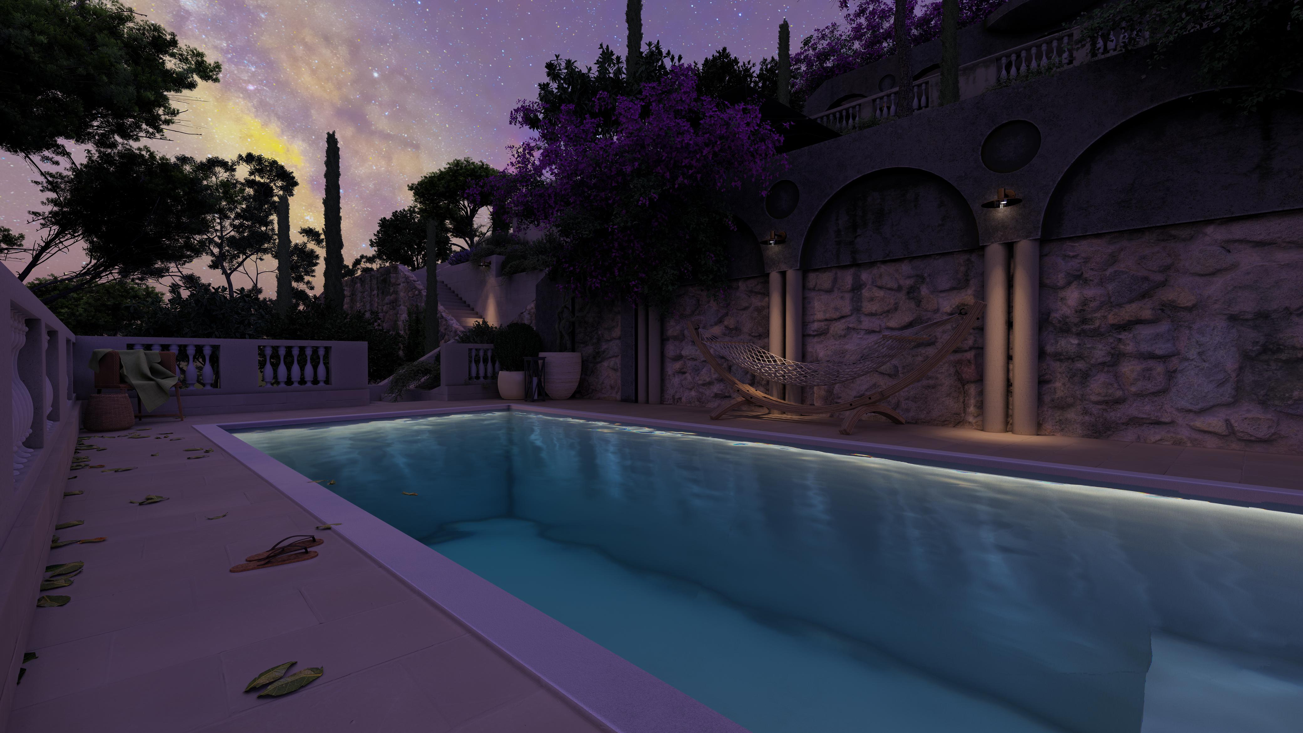
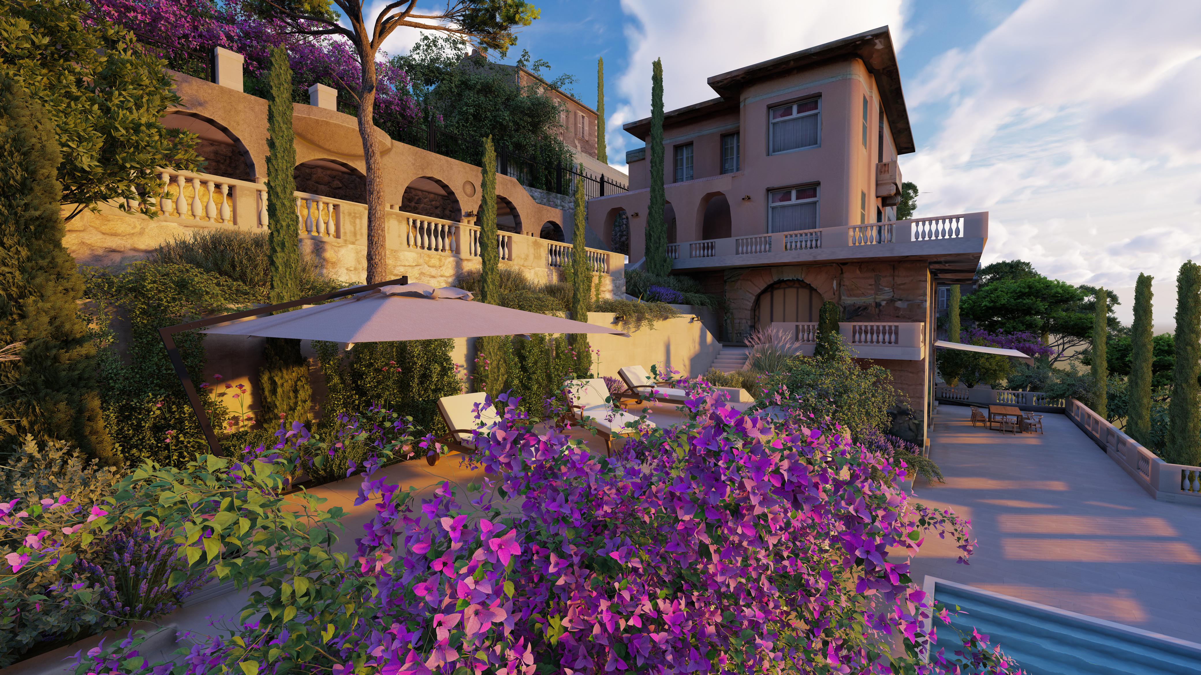
we are
LandscapingBee
a B2B company offering services to
Landscape architecture &
Landscape design companies
Our Services
Landscaping Bee is your trusted subcontractor for:
BENEFITS
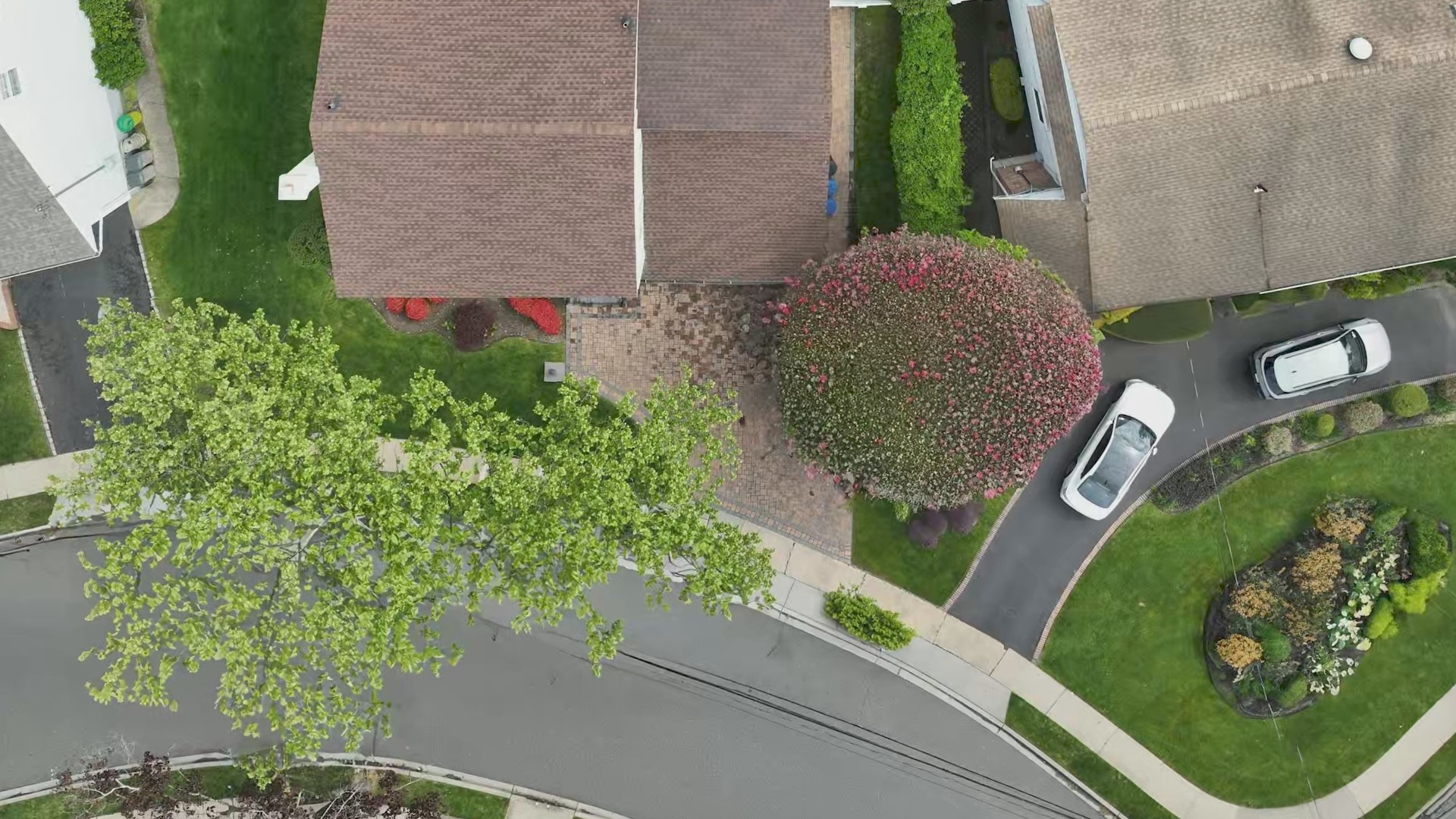
Drone-based 3D Scanning
Experience quick and precise site documentation through advanced drone technology.
Our certified drone technician captures your site with survey-grade accuracy and proper geo-referencing, creating a comprehensive dataset in a fraction of the time required for traditional methods.

Key advantages:
This efficient approach provides accurate foundational data for all subsequent design phases while significantly reducing on-site time.
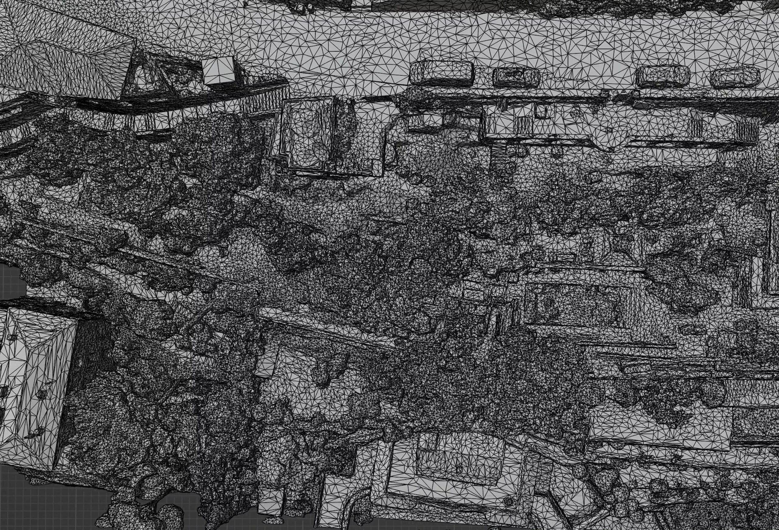
High precision hybrid (2D + 3D) digital twin model
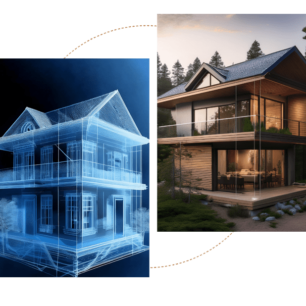
We transform raw scan data into sophisticated digital twin models that combine both 2D and 3D elements.
These hybrid models provide an exact digital replica of the site, integrating aerial imagery with precise measurements and terrain data. Compatible with your preferred design software — whether you work in 2D CAD applications or 3D modelling tools — our digital model seamlessly integrates into your existing workflow.
Our comprehensive approach ensures you have a complete, accurate, and interactive representation of your project site that can be directly utilized in your design process.
Taking measurements directly within the digital twin model
Extract exact dimensions, calculate areas and volumes, and perform detailed site analysis without returning to the field.
Our digital twin platform enables precise measurements and analysis directly within the model.
This ensures accurate planning and reduces costly site revisits while providing reliable data for project estimation and design.
Running analysis
Solar analysis
Maximize your site’s potential through advanced solar modelling and analysis. Our technology reveals critical light patterns and ensures optimal use of natural illumination:
All solar studies utilize precise digital model data, enabling you to make informed decisions based on accurate seasonal and daily light conditions at your specific site.
Terrain analysis
Our comprehensive terrain analysis provides crucial topographical insights for design decisions. We examine every contour to enhance your design workflow:
All assessments are based on high-precision measurements from your site’s digital twin, ensuring your design decisions are grounded in accurate, real-world data.
Visualisation services
Our digital twin platform allows for precise measurements and analytics directly within the model.
Extract exact dimensions, calculate areas and volumes, and perform detailed site evaluations without returning to the field.
This capability ensures accurate planning and reduces costly site revisits while providing reliable data for project estimation and design.
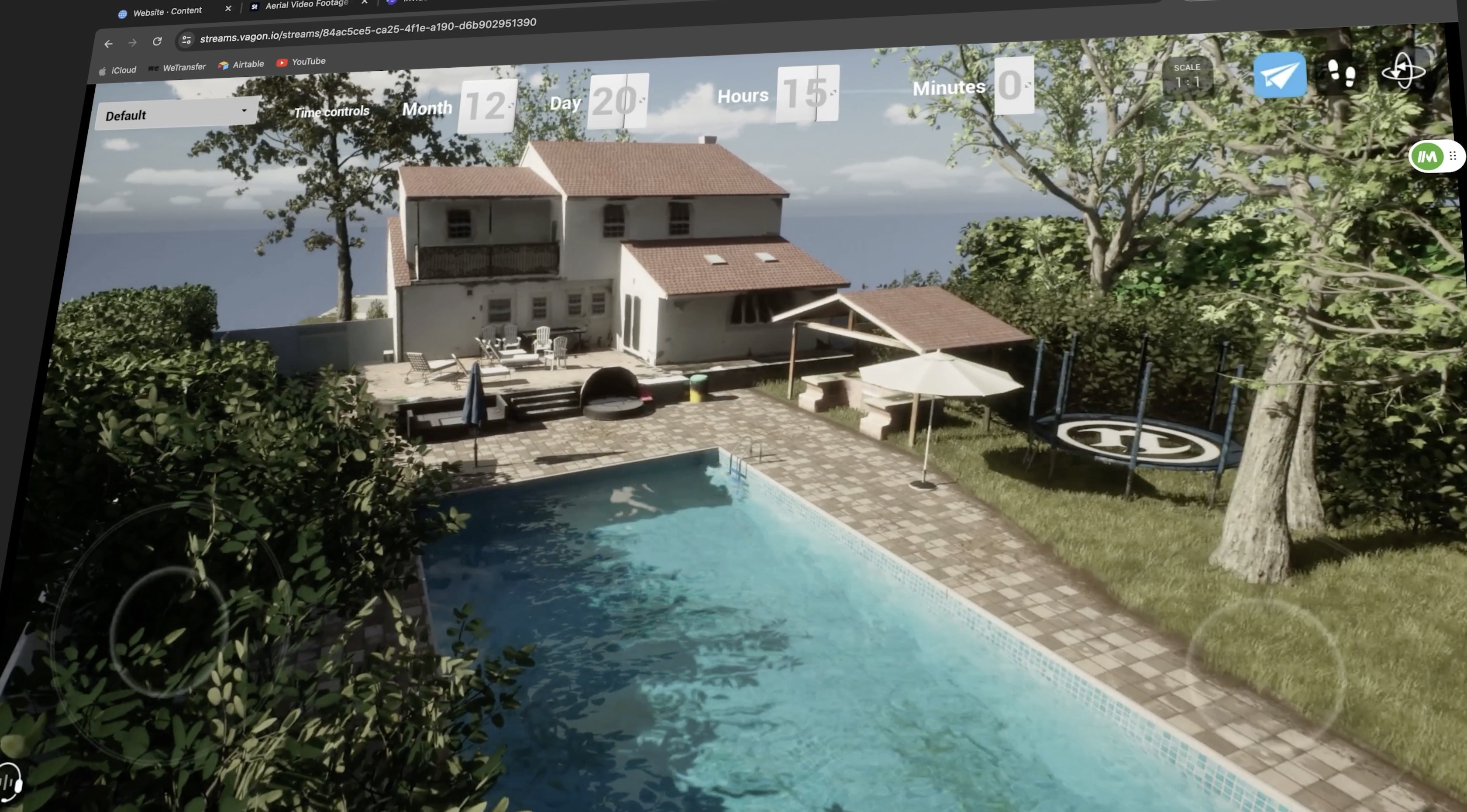
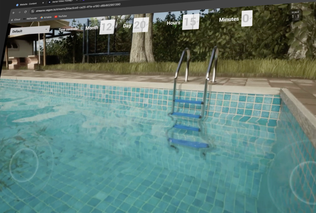
Real-time walkthroughs
Experience your project in an immersive virtual environment.
Our real-time walkthroughs allow your team and clients to navigate through the designed space, understanding spatial relationships and design implications better.
This interactive tool proves invaluable for design reviews, client presentations, and project planning.
Presentation SERVICES
We transform your project data into customized presentation formats tailored to your audience.
Whether you need technical documentation for contractors, visually rich presentations for clients, or detailed reports for regulatory bodies, we deliver professional presentations for many purposes that effectively communicate your project’s vision.
Technical documentation
Rely on our skilled design team to produce holistic technical documentation for your projects. Our specialists deliver precise, construction-ready drawings including:
All documentation is prepared, satisfying industry standards, ensuring clear communication between designers, contractors, and clients while maintaining compliance with local regulations and building codes.
Documentation for permits
We prepare detailed documentation albums specifically formatted for permit applications and regulatory compliance.
Our submissions include all necessary technical data, measurements, and site analysis required by local authorities, streamlining the approval process for your projects.
01
Fill Out the Form
Provide us with your name, contact details, and project address.
02
Consultation
Our team will review your information and reach out to discuss the project in detail.
03
Personalized Quote
Receive a comprehensive price calculation based on your specific requirements.
Contact us
Let’s talk
Get started today by filling out the form below
"*" indicates required fields
